While the impact of the Mount Polley mine spill on the greater marine ecosystem and salmon fisheries is still being deciphered, a mapping initiative with Indigenous communities is creating a base of knowledge to protect against such disasters in the future.
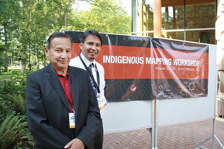
More than 100 Indigenous organizations from across Canada met this week at the University of Victoria, including Grand Chief Stewart Phillip, president of the Union of B.C. Indian Chiefs, for the Indigenous Mapping Workshop.
Stewart said the Northern B.C. mine spill and current battle over the development of sacred burial grounds on Grace Islet off Salt Spring Island are examples of the “undeniable urgency” of mapping lands, waters, resources and knowledge, while communities are losing elders at an alarming rate.
“Our history is written on the land itself,” Grand Chief Phillip said. “I don’t think that there’s any question that Indigenous mapping is becoming more and more critical to the ongoing debate, discussion and dialogue with respect to resource management issues and title court cases.”
The government of Canada’s “current obsession with advancing natural resource projects,” in addition to pipeline proposals and the province’s interest in LNG exploration, has only added to the urgency, he said.
“It’s of utmost importance that we develop the capacity, through the use of modern technology to ensure that our information is properly depicted on maps to protect our title and rights interests,” Phillip said.
That modern technology, came to the workshop via Google Earth Outreach, which offers in-depth training sessions for anyone interested in leveraging such programs as Google Maps.
“Google Earth is a great piece of software because it’s so empowering,” said Brian Thom, professor in UVic’s department of Anthropology and workshop co-organizer. “It’s a free tool, it’s very easy to use and it has wonderful imagery of the surface of the Earth that we can see in three dimensions. We can fly through the landscape. We can sit down with an elder in an office and we’re flying through the places that they know, where they’ve gone their whole lives and they can evoke the stories and know that fishing rock or this part of the history.”
The workshop allowed Aboriginal communities to share experiences of mapping their territories, record their place names and hunting, trapping and fishing locations. The process has even evolved into an important conversation about cultural revitalization and assertion of title rights, Thom said.
While the technology infused the event with a sense of excitement and possibility, Don Bain, executive director of the Union of B.C. Indian Chiefs, began Monday’s workshops by underlining a sentiment just outside Google Earth’s gaze.
“Mapping, or what we do in courts, or negotiation tables or the board room ... does not replace going out with your elder to fish, does not replace listening to the stories of family and friends,” Bain said.
editor@saanichnews.com