The first active storm cycle of the fall season is expected to hit Victoria tonight.
Tuesday, the first day of fall, is expected to be sunny in Victoria with cloud cover starting to roll in later in the afternoon and temperatures reaching a high of 17 C – but the rest of the week isn’t looking good.
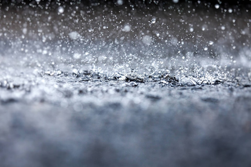
Environment Canada issued a special weather statement for Greater Victoria as a series of vigorous frontal systems will move across the south coast of B.C. starting Tuesday evening through Saturday. The systems are expected to bring periods of heavy rain and strong winds in the first active storm cycle of the fall season.
Rainfall intensity will vary across the region. Over Vancouver Island, total rainfall amounts over a two-day period ending Thursday will generally range from 15 to 44 mm with amounts of 100 mm or more expected on the west side of the Island.
This system will also bring strong southeast winds to the west coast of the Island starting Tuesday night, with winds of 60 to 80 km/h.
Environment Canada is warning residents that the combination of heavy rain with leaves on the ground may lead to localized flooding while strong winds may lead to power outages.
The wet pattern will continue with more rain expected Friday, Saturday and Sunday.
ALSO READ: Lengthy, enjoyable fall ahead for most of Canada, Weather Network predicts
Do you have a story tip? Email: vnc.editorial@blackpress.ca.
Follow us on Twitter and Instagram, and like us on Facebook.