A lot happened in Canada during the five-year span of 1985 to 1989.
For instance, that’s how long moviegoers waited to see the sequel for Back to the Future. While fans pined for more of suburban skateboarder Marty McFly, it was during that span that most of the tree canopy came down for Sunnymead, the Saanich-like version of McFly’s Hill Valley suburb.
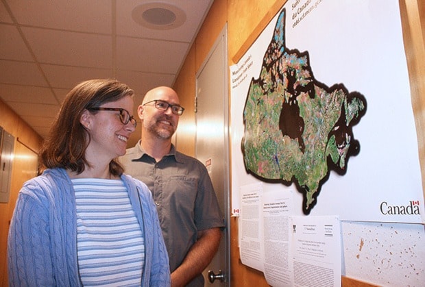
Thanks to a new website built by local research scientists Mike Wulder and Joanne White at the Pacific Forestry Centre, it’s become just as easy to track the history of logging in Canada between 1985 and 2011 as it is to rent a 1980s Michael J. Fox movie online.
It’s worth knowing that visitors to Forests.foundryspatial.com have the ability to manage trillions of pixels with the flick of the mouse. And the implications are massive as the project has compiled tens of thousands of satellite images from 1984 and 2012. In that span, it documents all occurrences of logging and forest fires, which is the most detailed depiction of forest change at the national scale that has ever been generated for Canada, White says.
“The site, in short, is a lot of science guided by usable pictures,” White says. “It captures human impact on 25 years of Canadian forests.”
Initially, the type of images White and Wulder used for the project were privy to very few. But the 2008 release of satellite images by NASA’s Landsat satellite program, which originally dates back to 1972, and the U.S. Geological Survey agency, made the project a reality.
“By releasing the data it changed the way we use it,” said Wulder, who gained preferential access as a member of NASA’s Landsat team.
Managing the data was the true challenge. It meant creating rules within the software that would sift through the thousands of images so that White and Wulder wouldn’t have to.
Clouds, in particular, were a part of the problem. The satellites would only fly over certain paths of Canada so many times in a year, so the software was designed to pick out the “clear” images.
Each pixel is 30 by 30 metres, or about the size of a baseball diamond.
That size is key, as anything smaller is too much detail. Anything bigger, and you lose the detail to recognize significant incidents.
In all, Canada is 1.4 billion hectares in size. About 600 million hectares is forestry ecosystems, including lakes and wetlands. Some researchers remove the water and wetlands, which leaves about 348 million hectares of forested land.
To date, a little less than 10 per cent of the 348 million has been disturbed by fire and harvesting (the project does not monitor insect occurrences such as pine beetles), White said.
Then came the big problem: putting it all into a user-friendly website.
That job fell on Saanich-based GIS and web design company Foundry Spatial, who White and Wulder worked closely with. The result is visible at Forests.foundryspatial.com, and the data is in use by several key stakeholders. Among them is fellow PhD and research scientist at PFC Werner Kurz, who runs the National Forest Carbon Accounting System for Canada, a carbon accounting program.
“The site gathers 700 million points per year and makes it displayable online,” Wulder said. “As you drill down, you can see more data as you focus, it leverages the imagery as you zoom in.”
Now, visitors can see forest disturbances that took place even in the most isolated and remote areas. For example, the layperson may find it interesting to see just how many hundreds of forest fires are left to burn in Canada’s remote areas each year, such as the extreme north. If it’s not a forest pegged for logging, preservation or near to urban populations, it’s left alone.
Researchers can also measure how quickly Canada’s forests are recovering after harvesting, wildfires and other disturbances.
The two researchers are slowly pulling back from a full-time commitment on the site but will continue to manage it, with plans to update it.
White and Wulder were honoured by the Canadian Journal of Remote Sensing for their paper on the project, The Landsat observation record of Canada: 1972 to 2012.
Visit the site at forests.foundryspatial.com