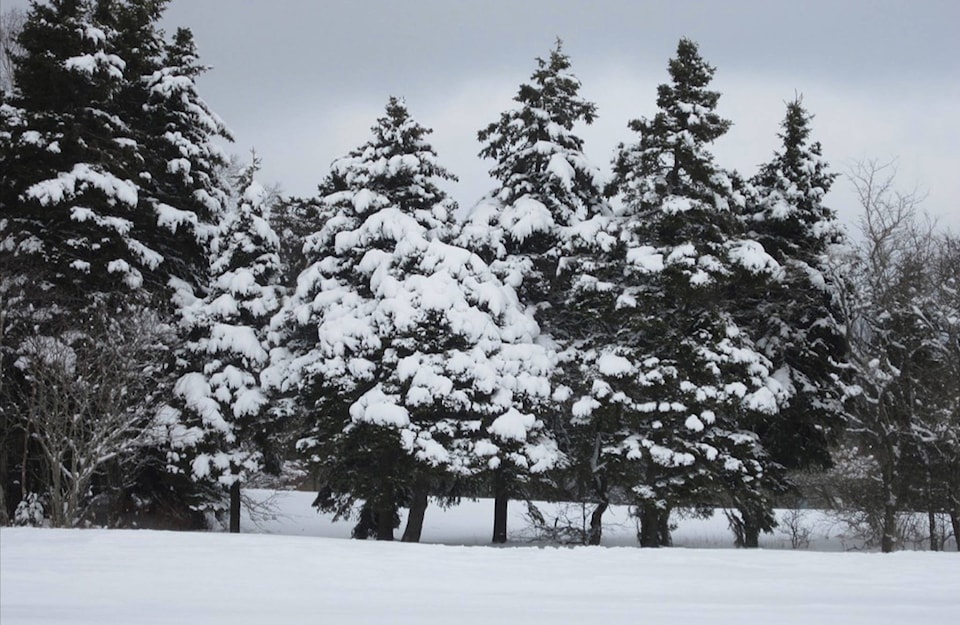
Parts of eastern Canada are about to be blanketed with a winter wonderland, despite it nearing the end of May.
Environment Canada issued a special weather alert Wednesday for regions in Newfoundland and Labrador, forecasting 15 to 30 cm of snow.
And it begins. May 23. #nlwx #Gander pic.twitter.com/mehp5ITfIA
— Rodney Barney (@rcbstormpost) May 23, 2018
Rain is expected to change to snow by Wednesday evening and become heavy overnight, according to the national weather service.
“Typically with late season snowfalls, accumulations are highly variable from one area to another depending on elevation and proximity to the coast,” Environment Canada said.
“As a result, there is potential for amounts to exceed 30 cm over some higher elevations while lower elevations and areas right along the coast could see lower amounts than forecast.”
The parts of the province being hit with snowfall warnings include Bonavista North, Bay of Exploits, Fander and Grand Falls, Windsor and Terra Nova.
READ MORE: 11 temperature records broken on Mother’s Day in B.C.
Meanwhile, B.C. has been home to new weather records this month, as conditions changed from soggy and cold to hot seemingly overnight.
The hottest day on record in May across B.C. was 34 C in Pemberton on Mother’s Day.
@ashwadhwani
ashley.wadhwani@bpdigital.ca
Like us on Facebook and follow us on Twitter.
